


Thousands of acres of residential, commercial, and municipal surveys
SURVEY
Across all survey options, the Cole team brings experience, flexibility and a commitment to quality. Your survey will produce the data you need to make decisions and move your project forward.
ALTA / NSPS SURVEYS
MONITOR & CONTROL SURVEYS
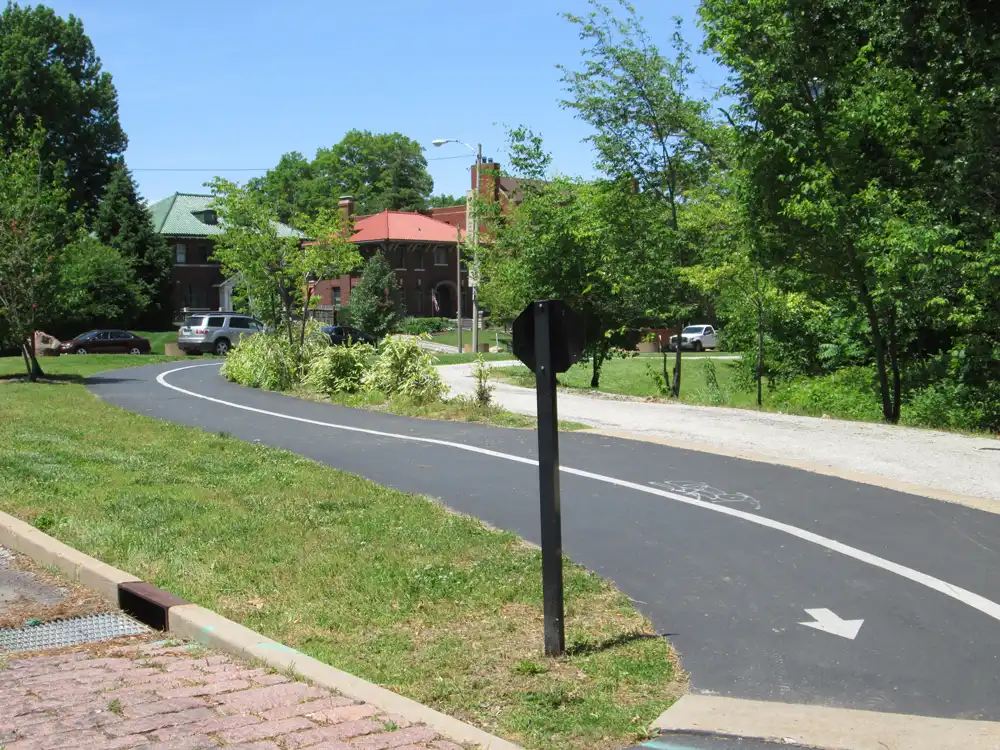
TOPOGRAPHIC SURVEYS
CONTRUCTION STAKING
BOUNDRY SURVEYS
AS-BUILT SURVEYS
3D LASER SCANNING
ELEVATION CERTIFICATES
AERIAL MAPPING & TOPOGRAPHY
SUBDIVISION & BOUNDARY ADJUSTMENT PLOTS
——
Used by all parties in a commercial real estate transaction.
Determine elevation, key to planning land use.
Establish the perimeter of a property using documents and physical inspection.
Pre-construction, capture precise details to create a highly accurate map.
Gather data on land that is inaccessible or impractical to survey traditionally.
———
Repeated measures of movement and position within buildings or other properties.
Create a visible property line.
Document your project at the close of construction.
Determine a residential or commercial building’s flood risk.
An initial site plan showing how the land will be used.

———
Used by all parties in a commercial real estate transaction.
Determine elevation, key to planning land use.
Establish the perimeter of a property using documents and physical inspection.
Pre-construction, capture precise details to create a highly accurate map.
Gather data on land that is inaccessible or impractical to survey traditionally.
Repeated measures of movement and position within buildings or other properties.
Create a visible property line.
Document your project at the close of construction.
Determine a residential or commercial building’s flood risk.
An initial site plan showing how the land will be used.
The power of experience and technology
Licensed in Arkansas, Illinois, Kansas, Mississippi, Missouri, Oklahoma, Tennessee, and Texas, our survey team specializes in projects that require fast turnaround. Whether you need a comprehensive project consultant or a specialized survey, we will meet your project challenges with the latest in engineering and surveying techniques and technologies.

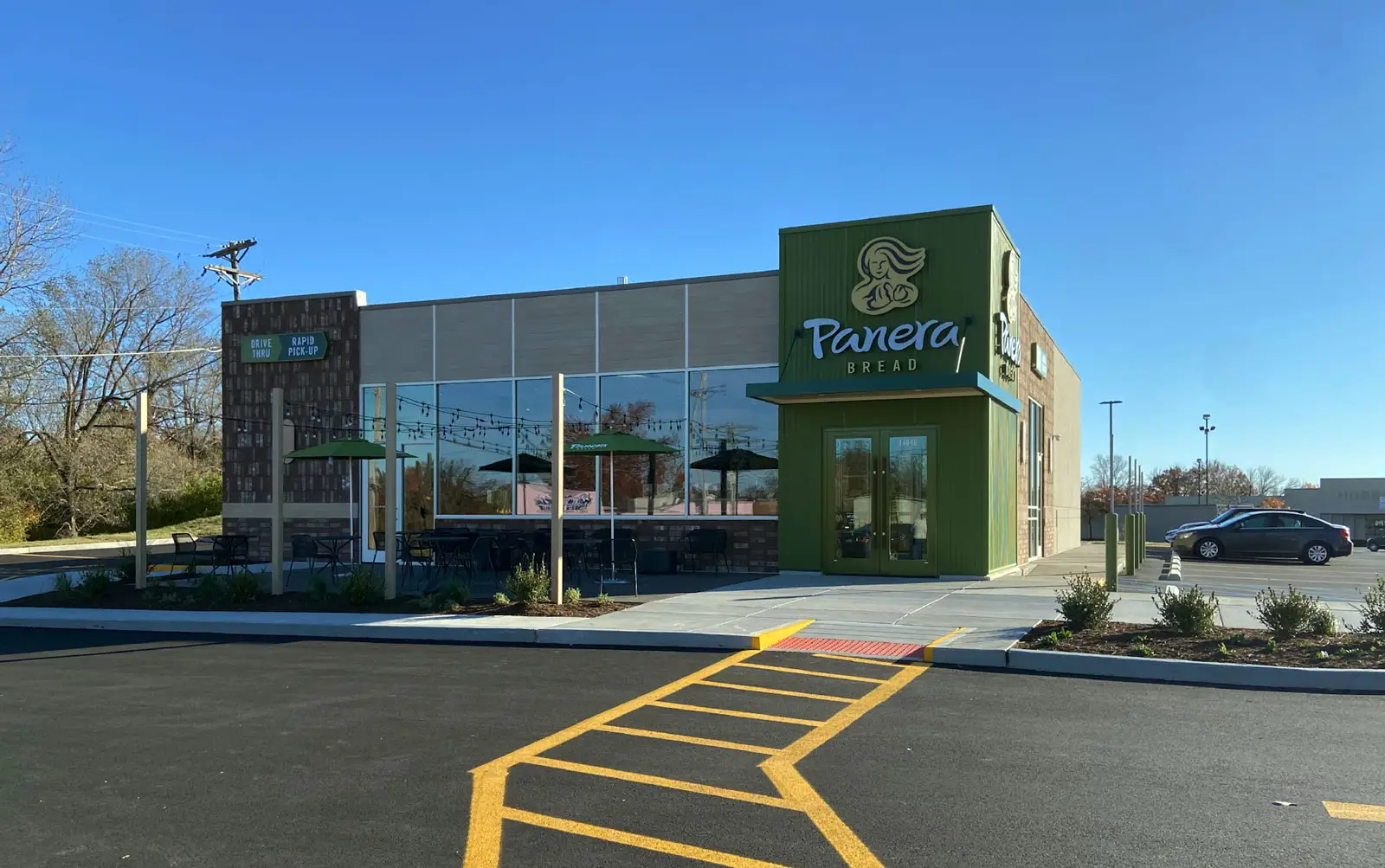
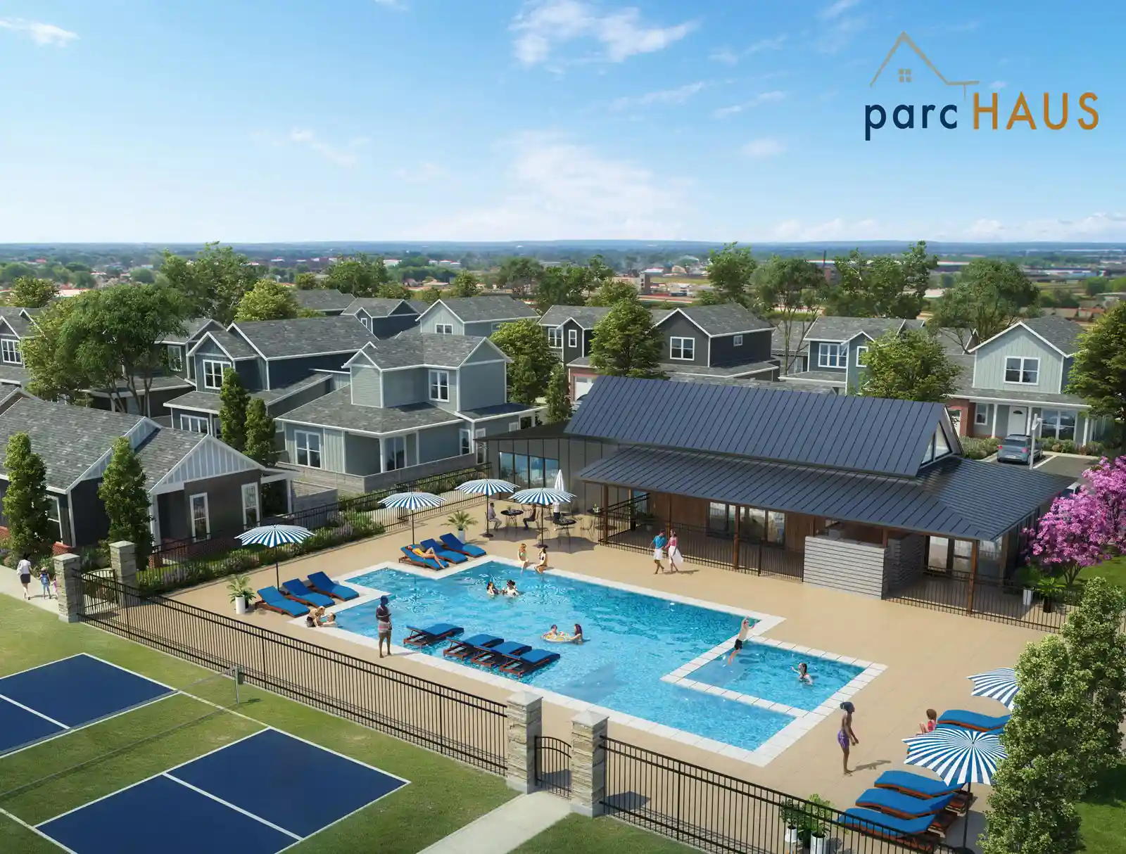
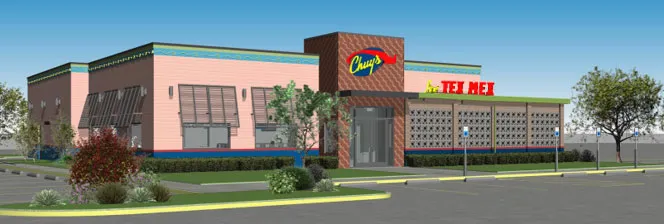
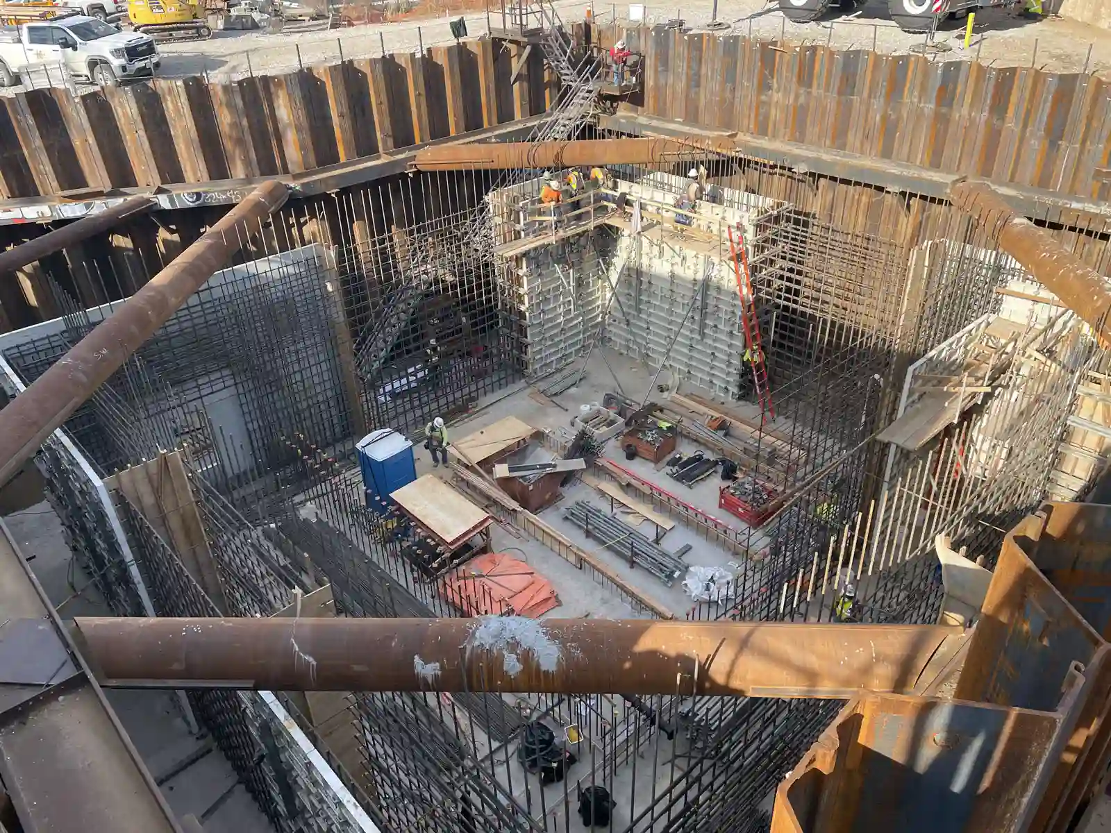
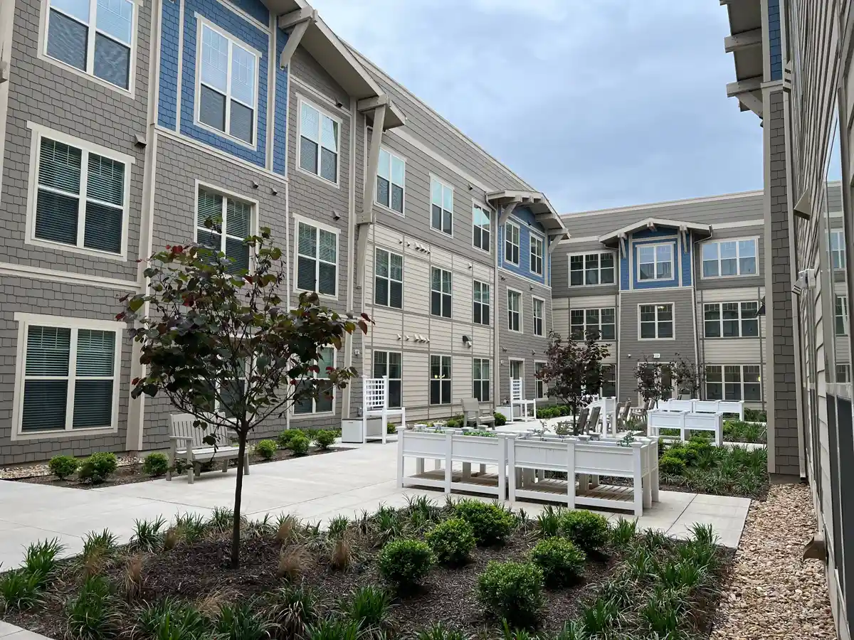
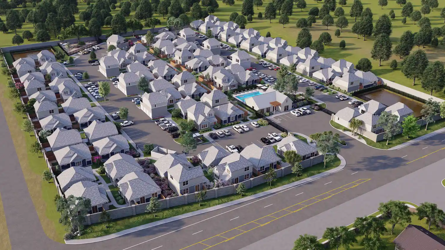
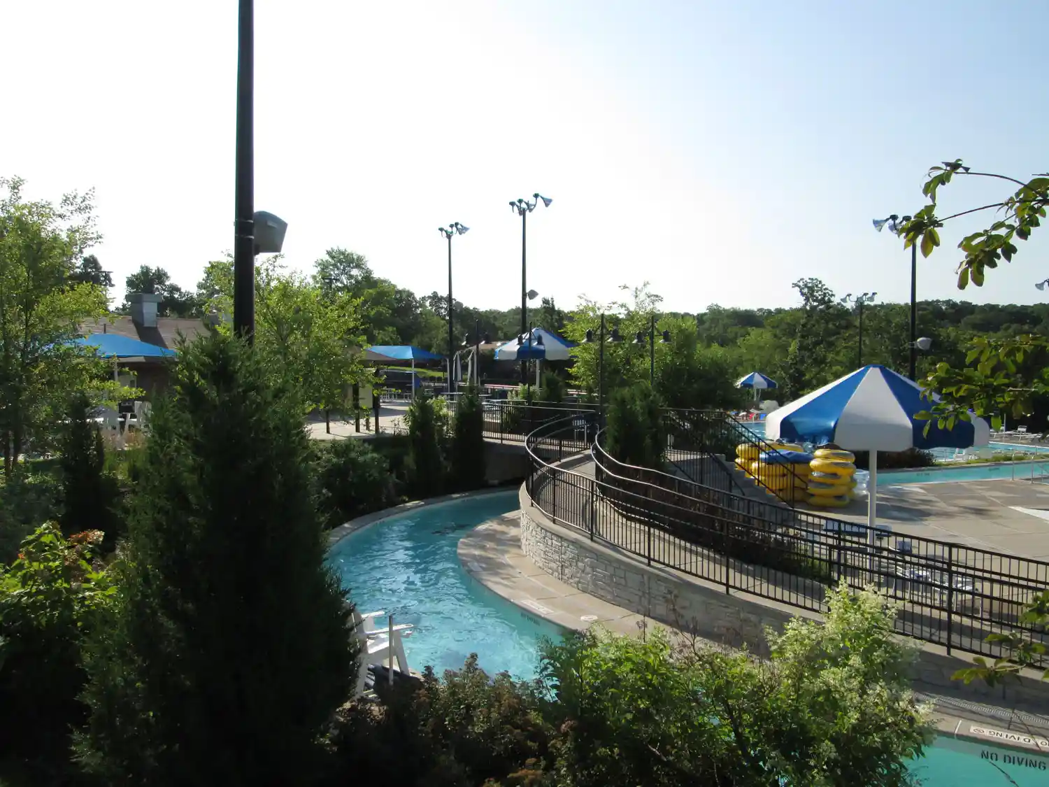
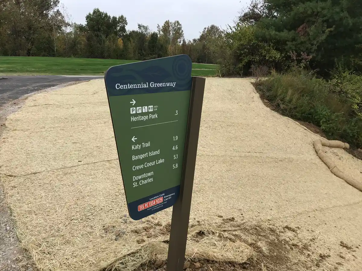
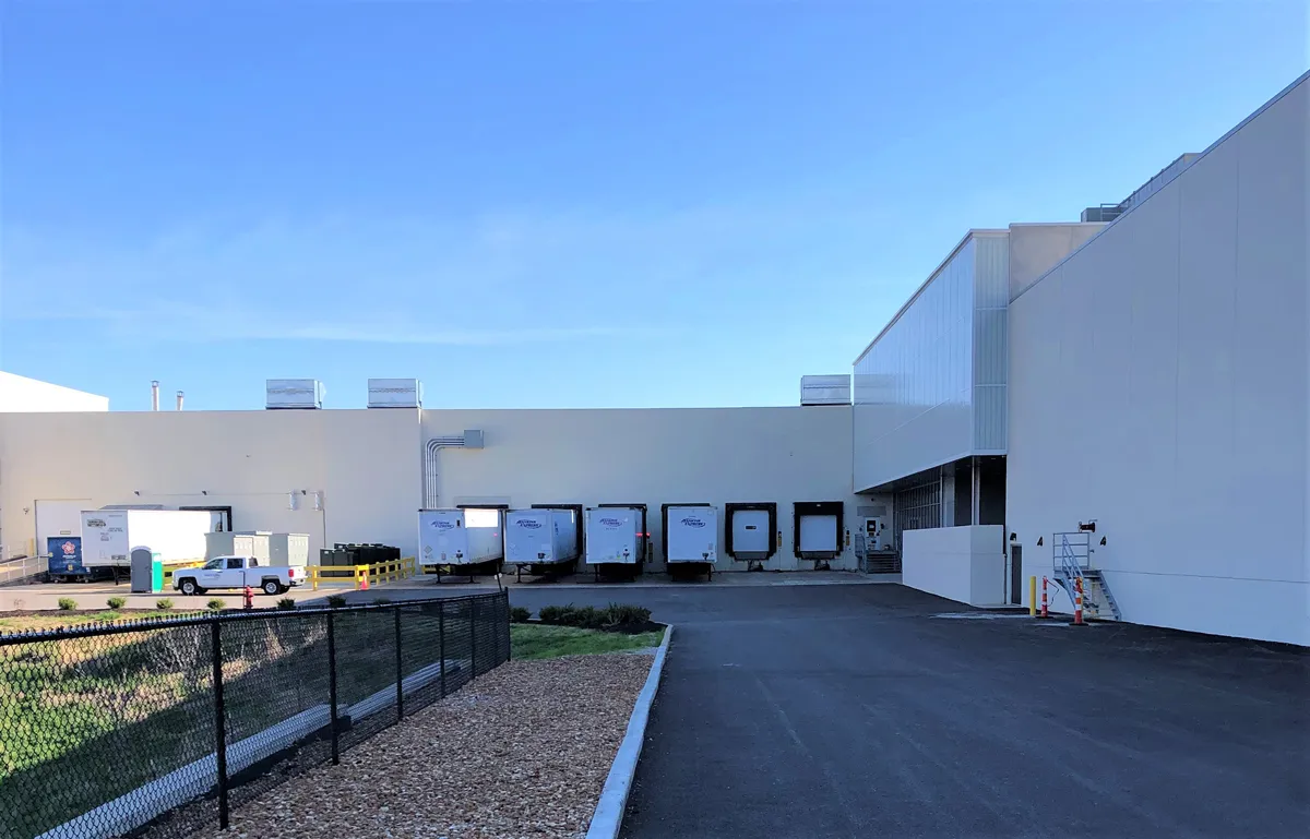
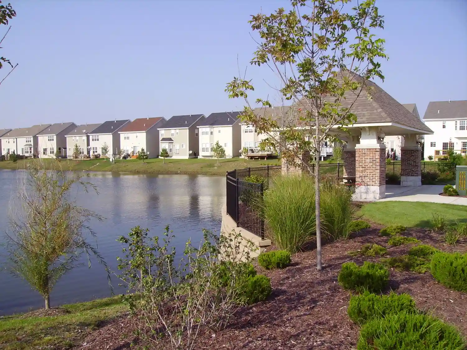
Featured Project


