Author name: coleandassoc

ADA Self-Evaluation and Transition Plans Reduce Risk and Can Save Public Agencies Money in the Long Run

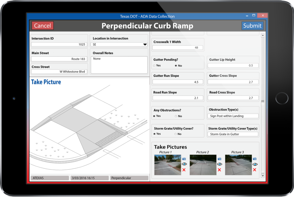
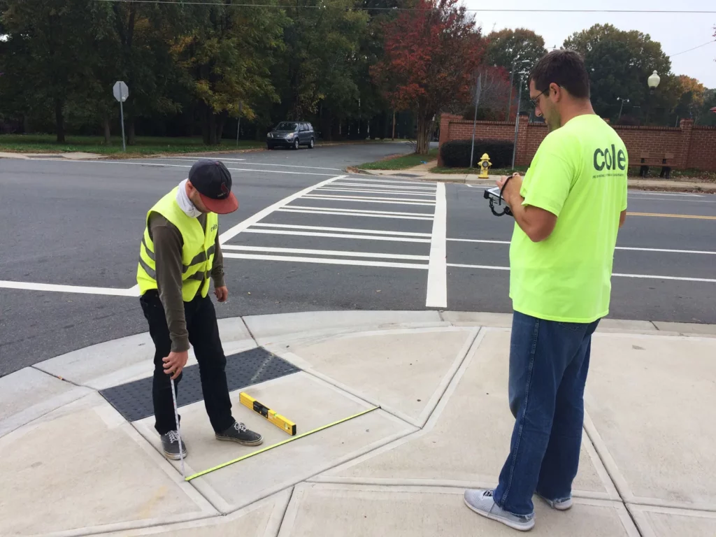
ADA Self-Evaluation involves a comprehensive assessment of public agencies’ facilities, programs, and services to identify barriers to accessibility. This process entails examining physical infrastructure, communication systems, policies, and practices to ensure compliance with ADA regulations. The findings of the Self-Evaluation inform the development of a Transition Plan — a strategic roadmap and ‘Living Document’ for addressing accessibility barriers and achieving ADA compliance over time.

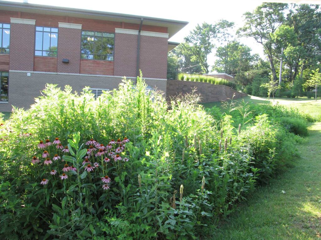
Sunset Hills Aquatic Center, Bioretention Basin

Sustainable Design – Bioretention Basins

Sustainable design principles are an integral component of landscape architecture, guiding the planning, design, construction, and management of landscapes to minimize negative environmental impacts and increase ecological resilience.
Multiple elements can, and are, incorporated into a sustainable design, including thorough site analysis, native plant selection, energy efficiency, and use of sustainable materials. Another key strategy is water conversation and management. This approach can involve rainwater harvesting, permeable paving, bioswales, green roofs, and drought-tolerant plants. Use of these tactics help recharge groundwater, mitigate flooding, and improve water quality.

What is Landscape Architecture?

Landscape Architecture involves far more than the selection of trees, shrubs, and plants. It is the design of environments for people, communities, plants, and animals. It encompasses all site types; from town squares, playgrounds, parks, and ponds, to school campuses, housing developments, and highways, to zoos and office plazas. In addition, landscape architects have a significant impact on the communities surrounding us. They are committed to the environment, incorporating sustainable designs to protect and conserve by prioritizing the use of native plant species suited to the local climate and soil conditions, integrating water-efficient design strategies such as permeable paving and bioswales, and incorporating energy-efficient tactics to reduce energy demands.

Cole GIS Service Line

ArcGIS Online and Cole’s Service Lines

The emergence of Geographic Information System (GIS) technology has revolutionized how engineers plan, design, build, and operate infrastructure projects. GIS leverages geographic data, spatial analysis techniques, and mapping tools to provide engineers with valuable insights into how to effectively plan, design, and implement infrastructure projects. In recent years, there has been a proliferation of GIS tools and apps that engineers can use to make more informed decisions.

Scroll to Top